Part 5: Road trip through Ecuador
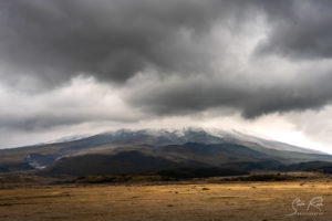
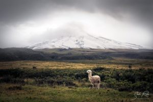
The next days we were going to stay mostly inside our little car or in a tent exploring Ecuador. The first destination on this trip was the Cotopaxi National Park. Located 60 km south of Quito it’s the home of the second highest and probably most beautiful volcano in Ecuador. So far we had not been lucky enough to get a view of the beautiful cone-shaped and 5900 m tall giant due to lots of clouds surrounding it. If you wanna see it in it’s full beauty its better to come in the summer than in the winter months.
Following the Avenida Simon Bolivar south it takes a while to finally leave the greater area of Quito. Passing through the small city named Machachi we bought some supplies for camping and continued east on a very bumpy private road. The Cotopaxi National Park has two entrances, a northern and a southern one. We were rumbling now forward on 22 km on a mostly broken cobblestone/dirt road. With a small 2WD car i would not take this road in rainy season!
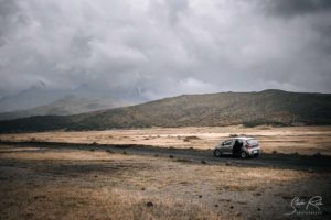
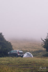
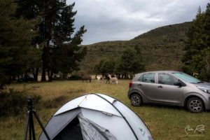
Note: If you ever rent a car in Ecuador and plan to leave the main roads i’d recommend to go for one with a bit more ground clearance. At least more than a “Kia Picanto Sport”. We hit the ground at so many speed bumps and rocks that it’s strange the rental agency didn’t complain.
Overview map
Cotopaxi National Park
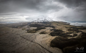
While driving through the beautiful landscapes at the food of Cotopaxi we thought that it resembles a bit Alaska with green plains and black rocks underneath. Continuing on the road we’re passing two tourist haciendas: Los Mortiños and Porvenir. Arriving at the entrance you have to register. As most of the time, it’s enough to just tell your passport number if you know it by heart. The entrance is free.
The South Entrance Point is way bigger than the northern one and has slightly “better” opening hours. Also the road is much better than the northern one being perfectly paved and hard to miss. However, all tours from Quito take the southern entrance making it quite crowded sometimes.
Laguna de Limpiopungo & Camping La Rinconada
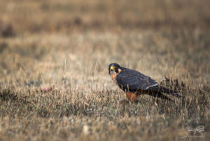
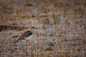
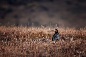
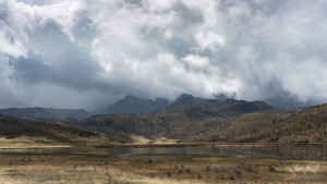
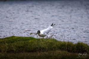
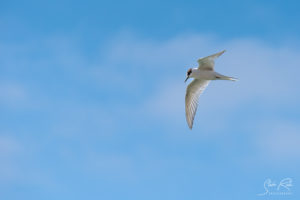
As soon as we entered the park we spotted some beautiful birds of prey and other birds beside the road. The routes in the park are more or less broad dirt roads on black ash so you can easily cruise around with 30-40 km/h (even with our pimp mobile). The first stop we did on the way was a small lake that invited to walk around for half an hour or so.
That followed we quickly went to the camping place (3$ per person) close by because the weather quickly changed. Dark clouds and the sudden strong wind was a hint to speed up and setup our tent there before it started to pour down. Short after we pitched the tent just in time it started to rain in fact buckets and didn’t stop until early Morning around 4.
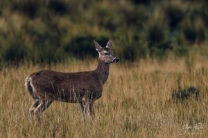
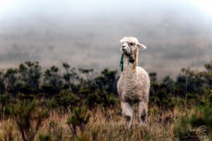
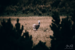
It only stayed clear that Morning until just after sunrise as suddenly new clouds and mist was moving in. At breakfast we were joined by a gang of some horses and one lama who were annoying some deer who got too close to the camping place place they apparently called their territory.
As hiking to the base camp was off the table due to weather we choose to drive further south to the city of Cuenca hoping for better weather and some more hiking. But first we tried to get some nice panoramas at the parking spot where the ascent to the peak starts. With a 4WD car you can even go higher to the base camp by car. We stayed there for a while took a view pictures and left the park through the south exit.
Quilotoa
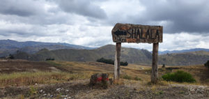
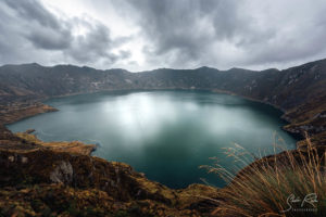
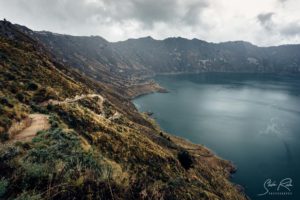
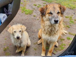
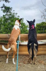
Before heading south we stopped at the famous Quilotoa crater-lake which changes it’s color over the course of the day. To get there we took the road via the “Centro Comunitario Shalalá” south east of the crater. At the small parking place we were welcomed by two very devoted dogs and wet dogs begging for some snacks.
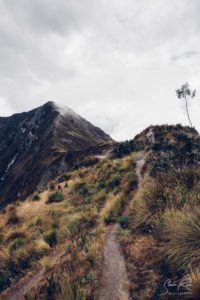
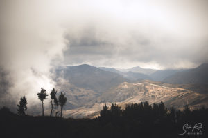
Starting at the car park it’s just a 20 minute walk to the crater rim. Despite the cloudy day the deep blue water of the crater was still impressive to view. It’s possible to walk completely down there and get a view of the crater from below or instead follow a steep path east towards a higher viewpoint. I ran up to the rim as some wind and fog was already crawling in again. The upcoming clouds and a little bit of rain rain provided some cool moody images from the top of the rim.
To Cuenca
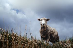
After feeding the dogs we were setting the google navigation app to avoid toll roads (prettier roads?) to continue towards Cuenca. The road took us through beautiful farm land with cattle and sheep after every corner.
People apparently were not used to see tourists here we as everybody was either staring us down or waving. The unpaved roads continued for one hour after we finally we got some asphalt under our tires again.
Prettier roads?
We continued on the toll free roads until it was already dark. At some point after 6 hours of driving we ended up in some poor suburbs (again on unpaved roads). It must have been 10 PM already as a little obstacle appeared in the middle of the road. Our small car once more failed as we were confronted with a deep water puddle (or rather lake) in front of us. I wasn’t brave enough to try as i saw an SUV crossing it with water splashing up to the rear mirror.
So we turned around and took the toll roads from then on for another 2h or so arriving at a parking lot at the main highway towards Cuenca. Being tired we just slept in the car which turned out to be quite comfortable. Really not kidding – Japanese cars are pretty well designed in general we thought.
Cuenca
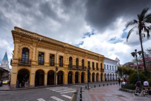
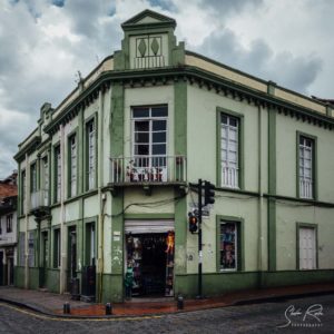
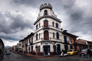
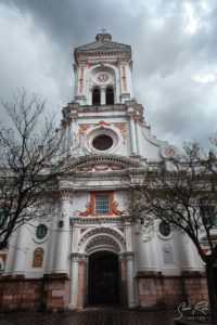
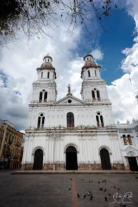
Cuenca, the third biggest city in Ecuador, is a very modern university city with a very western vibe but still has got some charm with it’s colonial buildings and a pretty old town. There’s lots of chique and even vegan food places. Most of the attractions such as churches and other historical buildings can easily be explored within a single day.
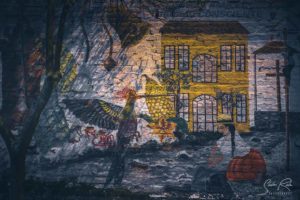
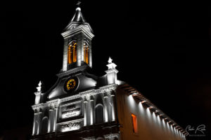
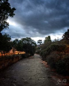
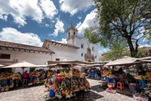
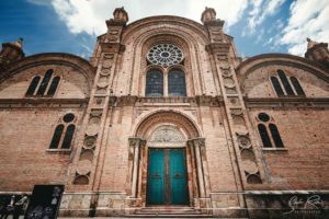
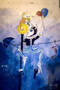
The Parque Calderón is the central place to start. From here you can check out the Catedral Nueva, the Plaza de las Flores, the Iglesias Santo Domingo & San Sebastian or walk along the river Tomebamba. Apart from that there a alot of museums to visit. I also liked the street art. Although i couldn’t get a good picture because of bad weather, the “Mirador de Turi” in the south is a perfect place to watch a sunset above the city.
Parque Nacional Cajas
The next day we drove to the Cajas National Park half an hour into the mountains west of Cuenca. There is two options for hiking there. One big hike called “Portada de Burin” or a smaller one at the Laguna Toreadora. We decided to take the smaller one first and go early the next day for the long hike.
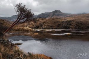
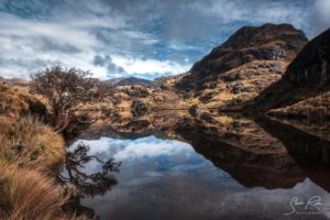
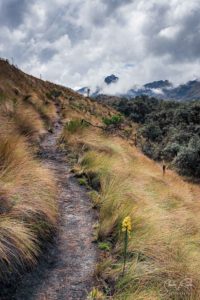
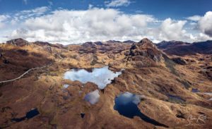
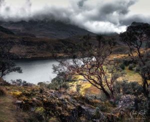
The start of the 2,5 h to 3 h trail is directly at the E582 road at the bus stop La Cajas / La Toreadora and cannot be missed. In these lower parts of the Cajas the trail starts on wooden boards and continues without much of ascent between the shimmering lagunas providing views of the surrounding mountains.
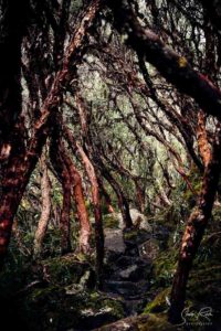
It was already past sunrise but for a short time the light of the sun peaking through the omnipresent clouds created an incredible glow and reflections on the lakes. One absolute highlight is a small forest of very old and gnarly Polylepsis trees which you will cross after an hour of walking.
In total, the hike is very easy, more like walk than a hike but very recommended as a light option for anyone.
Returning to the hostel in the afternoon it started raining again so we kept our fingers crossed for our big hike the next day.
Portada de Burin Hike
Unfortunately the weather got even worse the next morning. We packed our stuff and drove up to the starting point of the hike called “Tres cruzes viewpoint”. From there the idea was to park the car here and take the bus back to it when finished the trail.
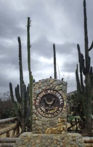
There was not much to view at that viewpoint apart from thick fog and rain so we waited for an hour but eventually thought that we need some sun. We never checked out the coast so far but heart of the Los Frailes National Park close to a small fishing village called Machallila. A bit frustrated because of skipping this hike but looking forward to finally escape the constant rain we started the 6h drive towards the sea.
If you like to do the hike, this is the coordinates which can be imported in your mobile apps.
Machalilla & Los Frailes National Park
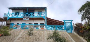
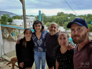
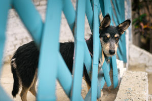
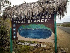
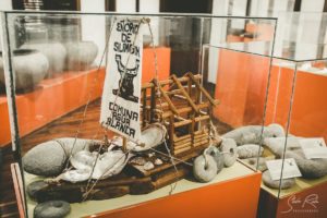
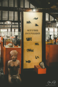
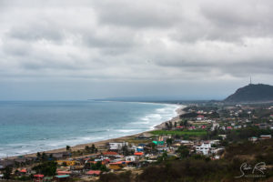
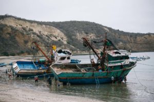
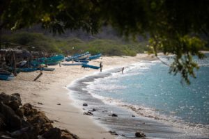
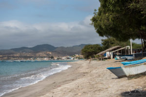
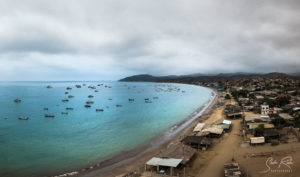
Machalilla lies 190km north west of Guayaquil at the coast between Puerto Lopez and Puerto Cayo. There’s only a few hostels and we stayed in a very nice one called Villa Machalilla. The owner Juan and his dogs are really cool. After saying hello we chose to stay for two nights immediately. There’s not much going on in the village. Everything is relaxed here and the locals were super friendly. Not the best place to party but if you want to visit a “real” place – this is it. The food (especially the camarones) were absolutely amazing. Other than the National Park Los Frailes you can visit the community Agua blanca here. It’s a community of approx. 72 families with 300 people in total. The original settlers there were of the Montana Culture which were active from 800 to 1532 AD. There’s a small but nice museum with archeological artefacts. The guides were really enthusiastic showing us around which made it a great experience.
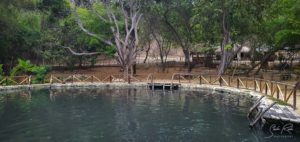
Another attraction in Aqua blanca is a small mud lagoon whose composition of minerals is supposed to cure bad skin and makes you sleep well. It smells like a garbage dump though.
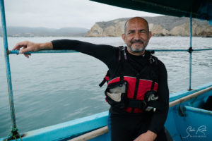
In the evening we heart from Juan that there’s a plan to build a fuel station in the middle of the national park. Gabi, a young filmmaker was just moving in at Juan’s Hostel to help creating a movie to put some more attention to this topic. There is also a petition running on change.org.
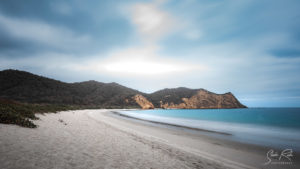
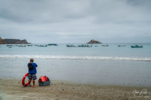
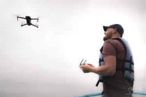
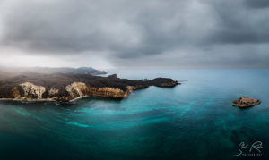
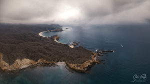
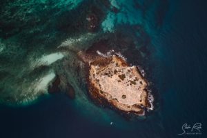
As we were talking she saw my drone and i was more than happy to support creating this movie with some additional drone drone shots. The next morning we entered a small boat and i took some good pictures and some video material of this beautiful coastline which of course needs to be protected.
This is the final video.
https://www.instagram.com/tv/CWcmOwPj7z0/?utm_medium=copy_link
And the pictures.
Because of our schedule (rainforest and the Galápagos Islands) we had to leave this place and these cool people feeling a bit sad. We were headed to the tallest mountain of Ecuador, Chimborazo. Juan explained the most scenic route and we said goodbye hoping to re-visit this place in the summer some time.
Machalilla to Chimborazo
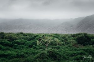
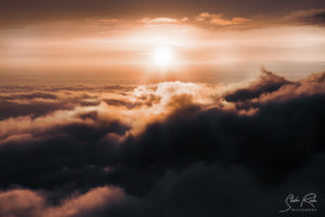
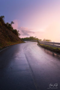
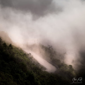
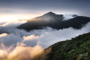
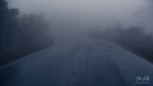
The 7h drive took us through the whole Costa and in the late afternoon up to the mountains west of Riobamba. As it started raining again we were afraid not being able to see anything at all again. But suddenly we were above the clouds and a beautiful sunset was happening. The clouds and the mist created such an amazing atmosphere.
Sunset on peak
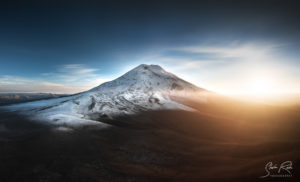
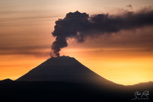
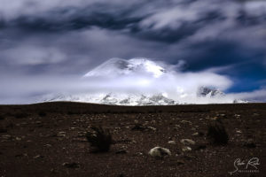
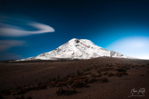
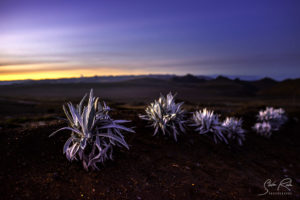
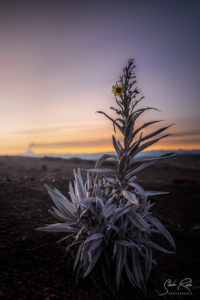
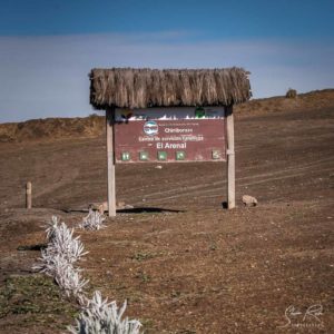
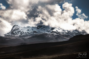
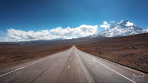
Further 2h later we arrived at the parking place “El Arenal” at the base camp of the mighty Chimborazo. As it was still cloudy we had our fancy dinner (cheese sandwiches) and prepared our car for the night. Early in the Morning the sky finally cleared and i went out towards the first refugio to catch the moonlid Chimborazo. I stayed there until sunrise. At around -2° the air was crispy clear and i could catch some amazing shots. In the distance we even witnessed the Volcano Sanjay errupting. The air was so clear that i took some good images even though it’s nearly 100 km away.
Back to Quito
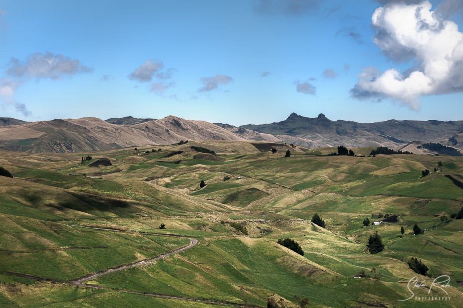
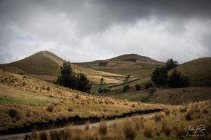
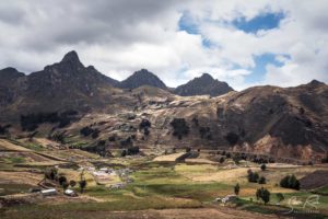
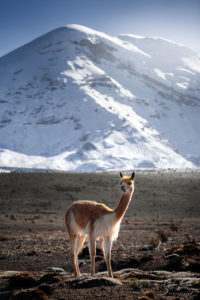
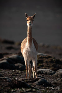
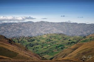
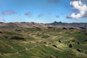
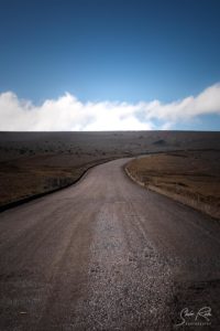
Unlike our expectations it has been a great Morning. Checking our maps we took the most scenic route again (however using toll roads this time) towards Quito. On the way they were lots and lots of Viscunjas crossing the road and posing in the morning light. Moreover we even took a glimpse of the El Altar Mountain. In the course of the drive the landscape changed again and turned from brown rocks into green softly curved hills. A great Morning indeed.
Happy and exhausted we checked into our Hostel in the afternoon preparing for our next destination.

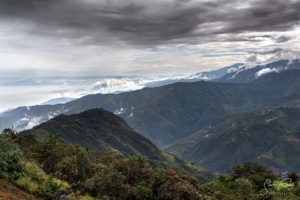
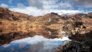
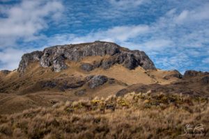
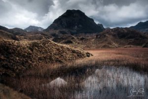
Hallo Stefan
Vielen Dank für den Bericht mit den wunderschönen Fotos.
Wir wünschen Euch weiterhin alles Gute.
Sonnige Grüsse aus Peru
Hallo Ihr Beiden,
Danke. Wünsche Euch auch alles Gute und weiterhin viel Spaß in Peru. Und eine gute Weiterreise wo auch immer es danach hin geht.
LG
Stefan